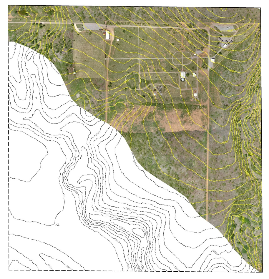
Drone aerial services can provide cost effective topographic data to calculate airspace consumed and available, evaluate soil borrow and material stockpile quantities, and other landfill construction projects; more quickly and with greater accuracy than conventional aerial surveying and ground surveying methods.
This technology enables landfill operators to efficiently and cost effectively plan and operate their facility and oversee construction projects.

